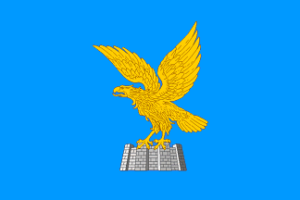
There are 4 official languages in Italy’s north-easternmost region: Italian, Friulian, Slovenian and German. Friuli is where the Romance, German and Slavic language areas meet.
Friuli Venezia Giulia is Italy’s easternmost region. It borders Slovenia to the east, Austria and the federal state of Carinthia to the north and the Italian region of Veneto to the west.
In terms of landscape, the country consists of many different areas and regions:
In the north, the region is part of the Alps .The most important mountain groups are the Julian Alps in the north-east, the Carnic Alps on the border with Austria and the Carnic and Julian Pre-Alps, which have the character of low mountain ranges. Most parts are often called Carnia in reference to the Carnic Alps, while the area from Tarvisio till Pontebba, the Valle Canale is often called Tarvisiano, this is the area that belonged till 1918 to the Ducate of Carinthia. The Friulian Dolomites are located in the west. Bigger towns are Tarvisio and Tolmezzo.
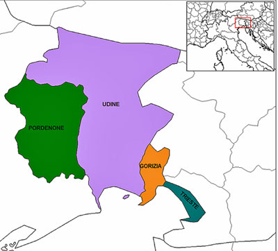
Towards South follows the hilly area of the region, which is characterised by moraine, glacial deposits that forms widely spread hills. At Udine, the land merges into the Friulian Plain, which stretches as far as the sea. The provincial capitals of Udine and Pordenone are located here, as well as Gorizia on the Slovenian border.
The south-east is characterised by a karst area, where the capital of the region – Trieste – is located directly by the sea. The rest of the coastal area is characterised by lagoons and lowlands and is home to the famous seaside resorts of Grado and Lignano Sabbiadoro.
Friuli Venezia Giulia’s main transmitter locations
Friuli Venezia Giulia is characterised by very different landscapes that are reflecting also in the way how the main transmitter locations are structured. The greatest variety of programmes can be found in the large cities and in the lowlands as there are located the main cities of the region. Providers take advantage of the geographical position and mostly put their transmitters on the edge of the mountainous chains of the Alps. In this way, they can transmit from relatively high positions covering quite of big geographical areas and cities such as Udine and Pordenone. More difficult are the areas inside the alps with numerous valleys that require a bigger network of smaller transmitters. Only the state-owned public operator RAI reaches a somehow extensive network that covers all valleys. Despite attempts of private operators to constantly improve their coverage in the mountainous area, there is still no coverage in most parts of the territory. The third big area is that one around Trieste and Gorizia, where the hilly area creates and the special location of Trieste in a kind of valley between the sea and the hills of the Carso make a coverage also here more difficult.
This brings the following possible distribution of the region into three regions:
- Zone North with the Alps and Tarvisio-Tolmezzo
- Lowlands zone with the large cities of Udine, Pordenone and, partly, Gorizia
- Trieste zone with the Karst region
A complete list of all locations (including minor ones) already photographed in Friuli Venezia Giulia can be found under this link:transmitter photos Friuli Venezia Giulia
Lowlands zone with the large cities of Udine, Pordenone
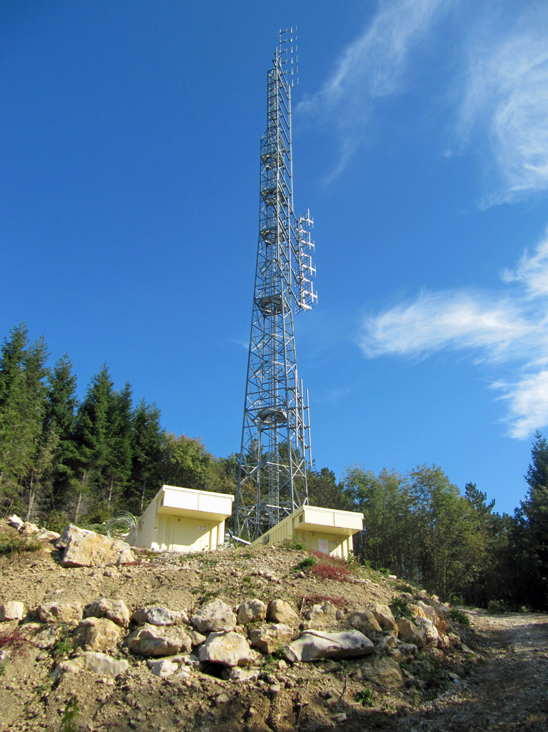
| Attimis/Porzus
Location: This transmitter is located north-east of Udine on one of the Alpine foothills near the village of Tarcento. |
 |
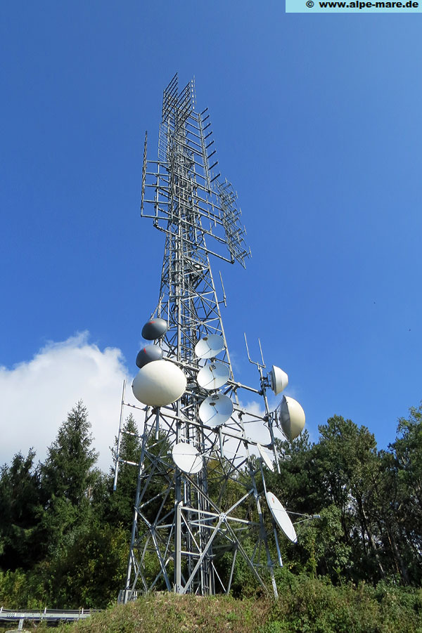
| Faedis/Pedrosa-Costalunga
Location: Just a few kilometres east of the Attimis/Porzus site, also located on an Alpine foothill. The valley town is Faedis. |
 |
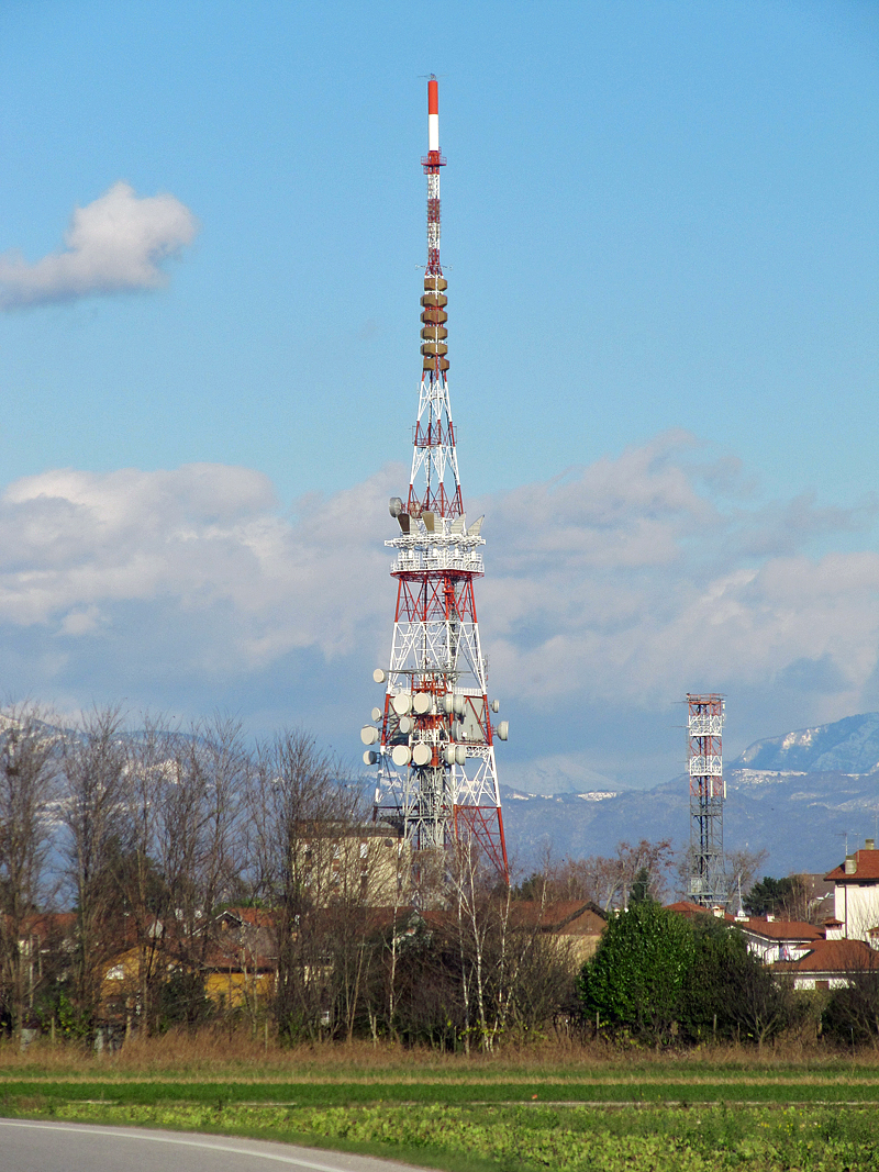
| Udine/Baldasseria (RAI)
Location: Located directly in the lowlands south of the city of Udine. Visible from the A23 Palmanova-Tarvisio motorway. Coverage area: This RAI site covers large parts of the province of Udine with RAI programmes on FM and DVB-T. The site can be received in large parts of Friuli and also partly in the Tarvisio area and in Carinthia. |
 |
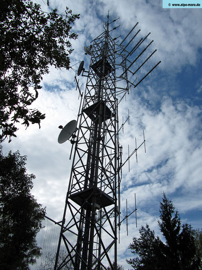
| Muris/Monte di Ragogna
Location: This site is located north-west of Udine on a free-standing mountain near Tagliamento. Coverage area: Muris serves the Friulian hills (Italian: Alto Friuli), i.e. the areas north of Udine, and can also be received in the city itself |
 |
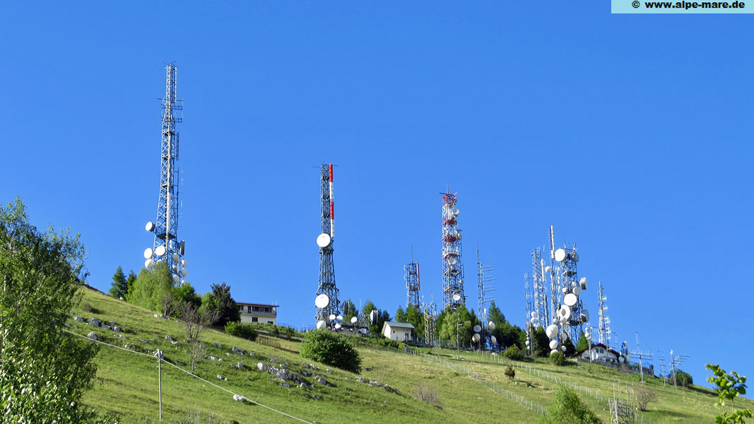
| Aviano/Castaldia (Col del Lovo)
Location: Above the town of Aviano at the north-western end of the lowlands. Coverage area: Thanks to its exposed location (1700 metres -> lowlands), this site has a relatively large coverage area: In addition to the provinces of Pordenone, Udine and Gorizia, Aviano also supplies parts of the province of Trieste. In neighbouring Slovenia, the site can be received as a local station in places in the coastal region, and in Istria (Croatia) it is a local station everywhere near the coast. |
 |
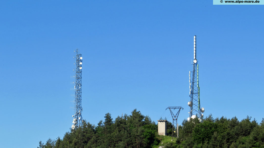
| Caneva/Col Gaiardin
Location: South of Aviano, close to the town of Caneva and the regional border with Veneto. Coverage area: This site mainly serves the province of Udine and is significantly weaker than Aviano/Castaldia – but can still be received in the other provinces. |
 |
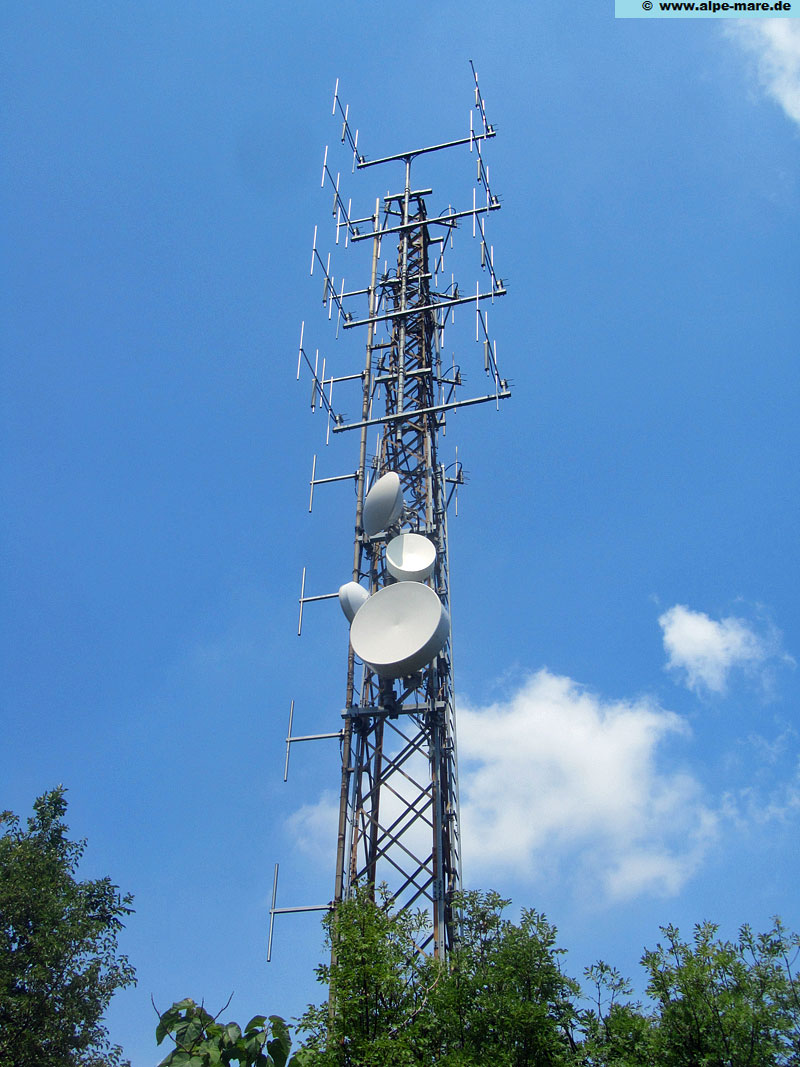
| Sagrado/Monte San Michele
Location: In the far east of the region near the border with Slovenia. South of the city of Gorizia. Coverage area: Mainly the provincial capital of Gorizia and parts of the province. Reach partially as far as Udine. |
 |
Trieste zone including Carso region
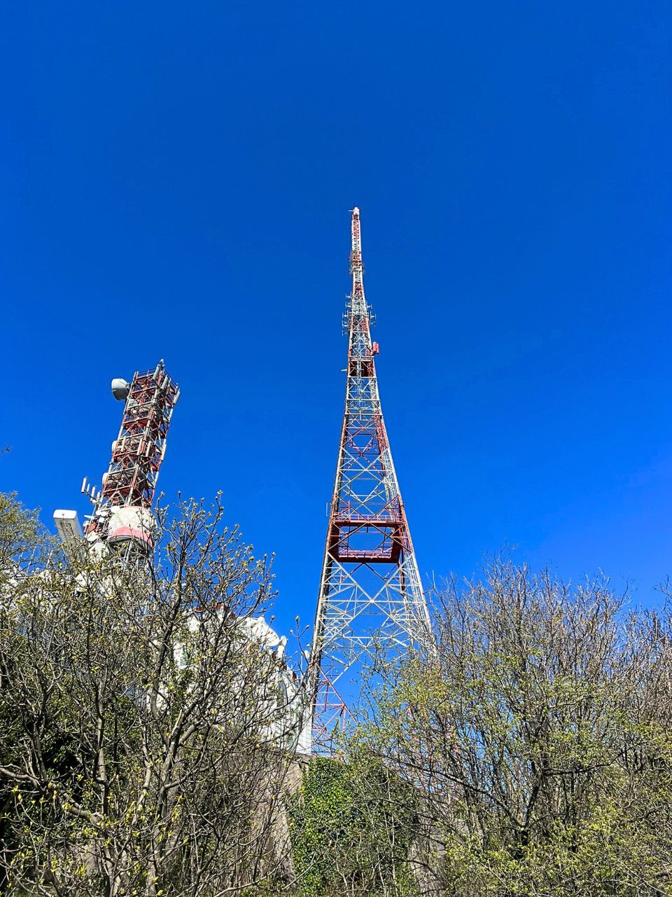
| Trieste/Monte Belvedere (RAI) Location: Located above Trieste at the beginning of the Karst plateau. Coverage area: Together with Muggia, this site serves the regional capital of Trieste and the province of Trieste with the programmes of RAI. Thanks to its exposed location, this site can also be received in Slovenia. |
 |
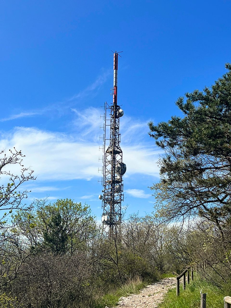
| Trieste/Monte Belvedere (priv)
Location: Located some metres away from the RAI transmitter tower. it broadcasts approx. 7-8 radio stations on FM, the DAB Italia Multiplex on 7D and DVB-T. Coverage area: serves to cover the city of Trieste and surroundings. |
 |
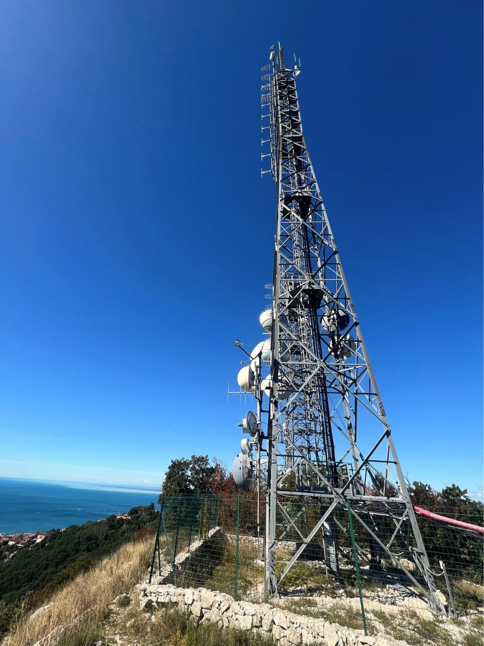
| Trieste/Monte Belvedere est (former Conconello) Location: Located right next to the RAI transmitter, a bit more east along the mountain edge of the karst plateau. Till the early 2020ties, almost all private stations operated from various transmitters spread around the village of Conconello (part of Trieste) around 100 metres lower than the previous position. The old locations were abandoned due to ongoing complaints of the local population and problems with the local authority ARPA. Coverage area: Together with Muggia, this site serves the regional capital of Trieste and some areas of the province. Given the specific geographical position of Trieste of being down in a kind of valley between the sea and the mountain, the radio stations mainly cover the city, but are limited to other parts of the province and do not cover the area behind it (Opicina, Sezana). |
 |
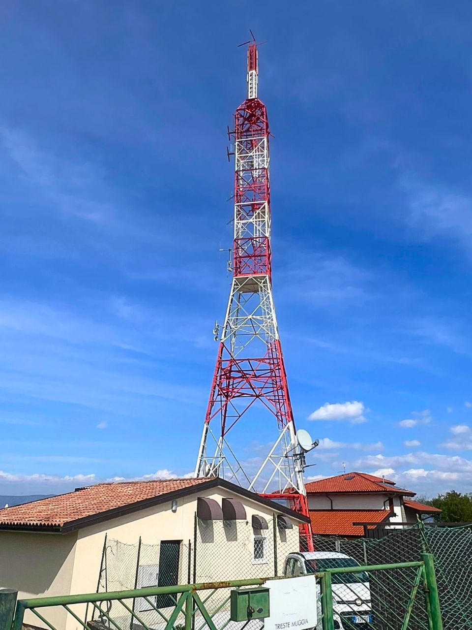
| Muggia/Strada per Chiampore, 54 (Località Darsella) (RAI) Location: Located south of Trieste on a peninsula that extends far into the Adriatic Sea. Together with Monte Belvedere, this location supplies the city with TV and radio programmes from RAI. Coverage area: covers Muggia and Trieste as well as parts of the province (especially the coast up to Monfalcone). |
 |
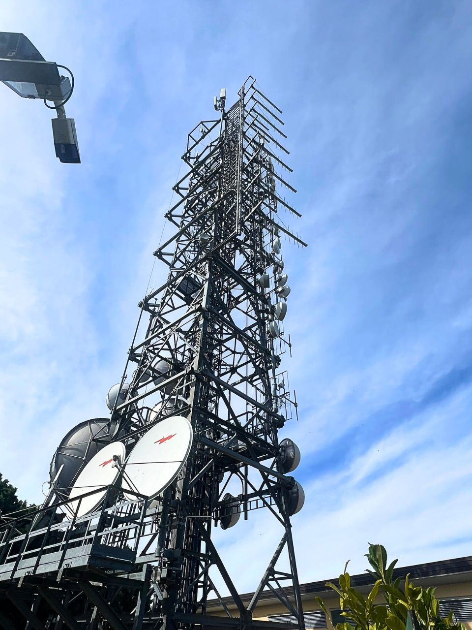
| Muggia/Strada per Chiampore, 52B Location: Just few metres away from the RAI transmitter. This station consists currently (2025) of two towers with ongoing workings. There have been multiple towers and masts all around the area till the early 2010s, but now more and more station are put together to this main location. Coverage area: Together with Monte Belvedere, this location supplies the city of Trieste with TV and radio programmes. The main direction of transmission is north and north-east, which is why the station can be received again in the Alps. |
 |
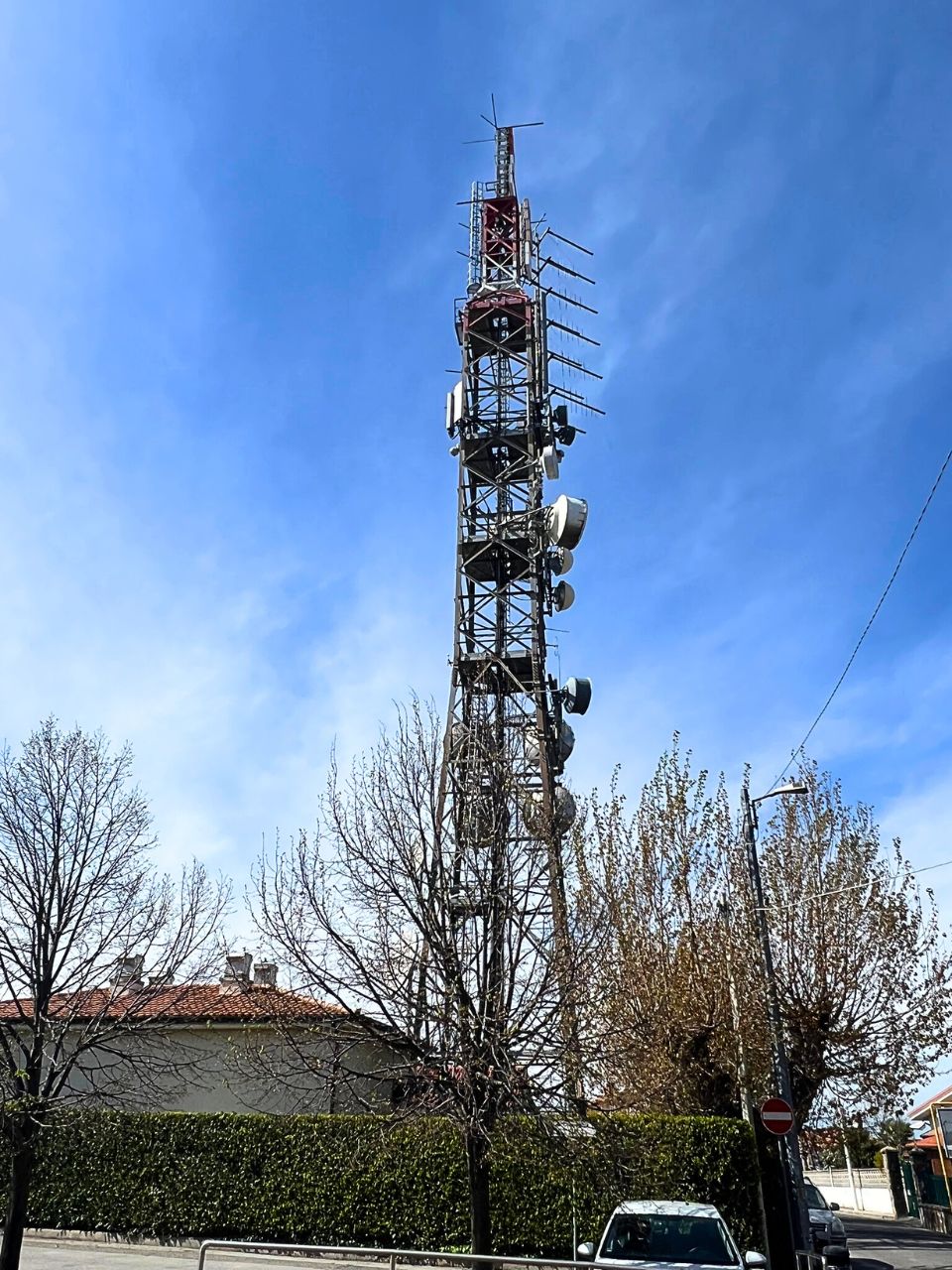
| Muggia/Strada per Chiampore, 4b (EI) Location: This location exists for long and is located directly on the border with Slovenia. It belongs to Elemedia and is used mainly from this company to transmit the programmes Radio Deejay, m2o and Radio Capital. Coverage area: Covers Trieste and works together with Monte Belvedere as main transmitter to provide the programmes to the city of Trieste. Some of the frequencies can be received also in the Alps. |
 |
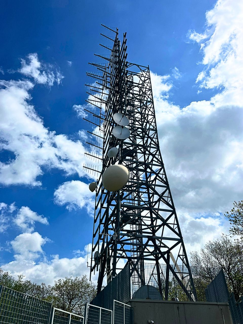
| Muggia/Frazione Santa Barbara-Monte Castellier
Location: located on a hill southwest of Muggia, close to Rabuiese and the border with Slovenia. This location serves as main transmitter to cover the city of Trieste. Coverage area: Covers the city of Trieste and some areas of the province. Due to the slightly higher location (240-250m), the programmes can be received also in some parts of the province, especially along the coast from Trieste to Duino. In some alpine valleys in Slovenia and Austria some frequencies can be received as well. |
 |
Zone North with the Alps and Tarvisio-Tolmezzo
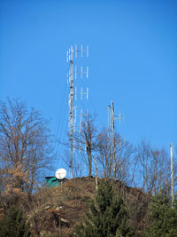
| Tolmezzo/Verzegnis Villa Verzegnis
Location: South of the small town of Tolmezzo in the Tagliamento valley. Coverage area: In addition to the town, some side valleys and a section of the A23 Tarvisio-Palmanova motorway are also served from this location. Only private radio programmes are broadcast from here. |
 |
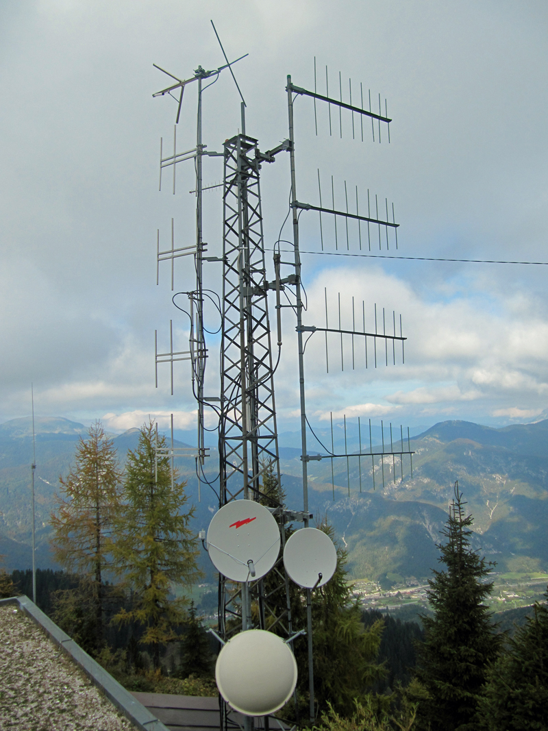
| Tarvisio/Monte Santo di Lussari
Location: Located above the town of Tarvisio/Tarvis, RAI transmission mast is just a few metres from the private site. Coverage area: This site supplies the Canal Valley (Valle Canale) with Pontebba and Tarvisio. |
 |
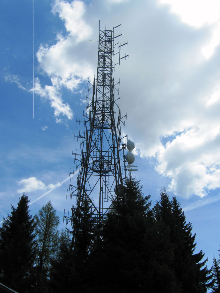
| Monte Forno (border triangle)
Location: This transmitter is located at the easternmost point of Italy, Monte Forno or the border triangle. The countries of Slovenia, Italy and Austria meet directly at the transmitter. Coverage area: This location was long used as the location for the legendary Radio Uno – RTL 102.5 has now been using the location for over 10 years to mainly cover Carinthia. |
 |
Range maps
These maps illustrate the range of most of the above-mentioned ‘basic network transmitters’ in Friuli Venezia Giulia.
Range map private transmitter locations
Further information by clicking on one of the pins on the map!
Explanation:
red: range Aviano/Castaldia
blue: range Faedis/Costalunga and Attimis/Porzus
yellow: Range Sagrado/Monte San Michele
yellow (north): Monte Forno/Tarvisio/Monte S. Lussari
violet: range Trieste/Conconello and Muggia/Chiampore
violet (north): Range Tolmezzo/Verzegnis-Villa
Range map RAI transmitter sites
Further information by clicking on one of the pins on the map!
Explanation:
red: range Aviano/Castaldia
blue: range Tolmezzo/Monte Strabut (RAI)
yellow: Range Aviano
yellow (north): Tarvisio/Monte S. Lussari+ Monte Priesnigg
violet: Trieste/Monte Belvedere range
turquoise: Sagrado/Monte San Michele (RAI)
Small transmitters are missing!